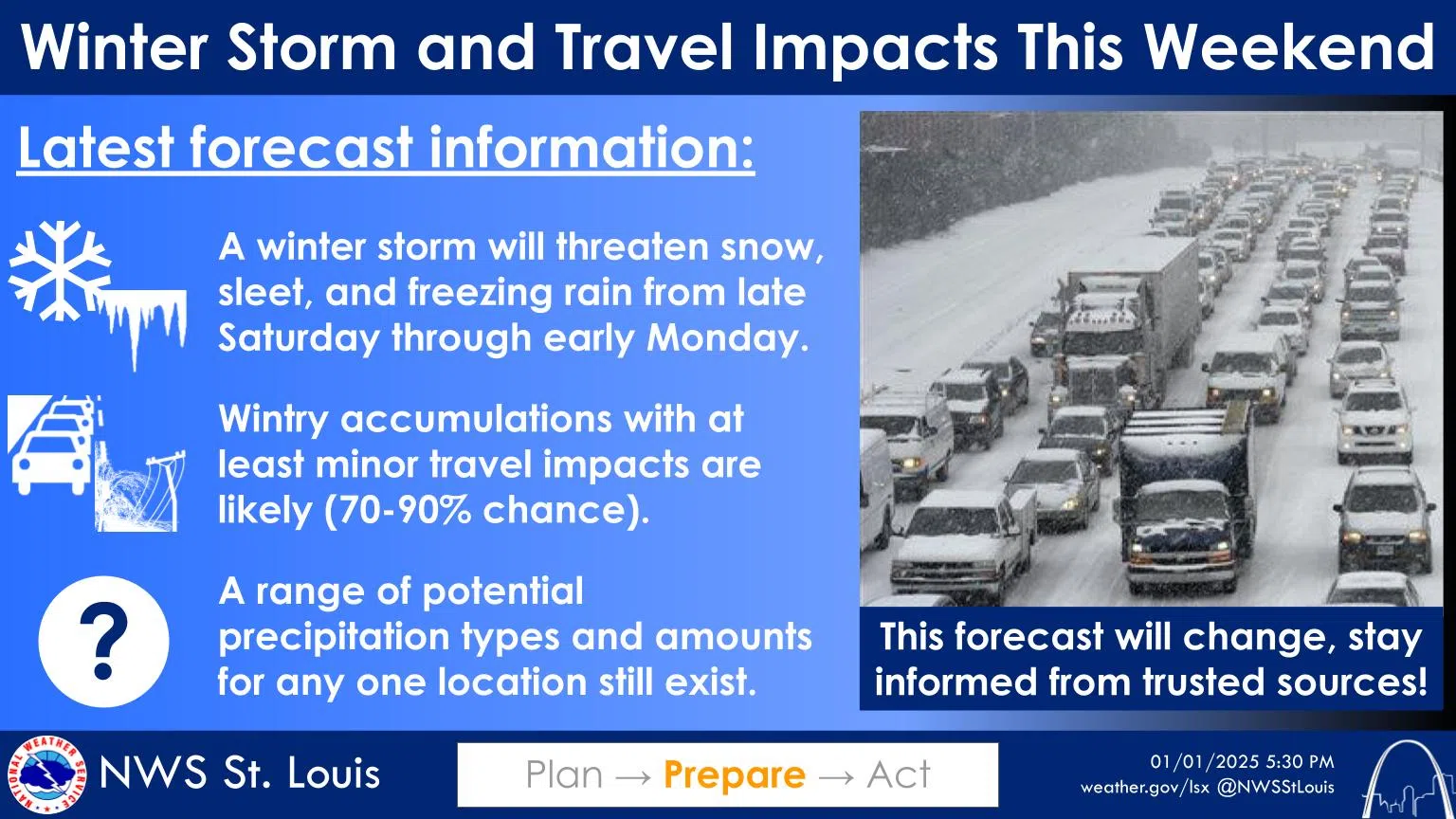
A major winter storm looks to be on the way to the area on Saturday night and all throughout the day on Sunday.
The latest forecast for the area shows snow after midnight on Saturday night with a low of 21 and then snow that could be heavy at times during the day on Sunday with a high of 25. The snow would continue on Sunday night before eventually ending early Monday morning.
Many weather outlets are predicting large snow amounts from this storm but the National Weather Service in St. Louis—as of this time—is not making predictions. The latest information from the NWS says the chance for impactful wintry precipitation continues to increase between late Saturday and early Monday. They add that at least minor impacts are very likely with some potential for more significant impacts, as well. The National Weather Service in St. Louis says in their Weather Briefing this morning that snow, sleet and freezing rain are all likely to occur at various locations, but exactly where the transition zone will set up remain uncertain, as they add that precipitation types are likely to shift throughout the event.


Comments